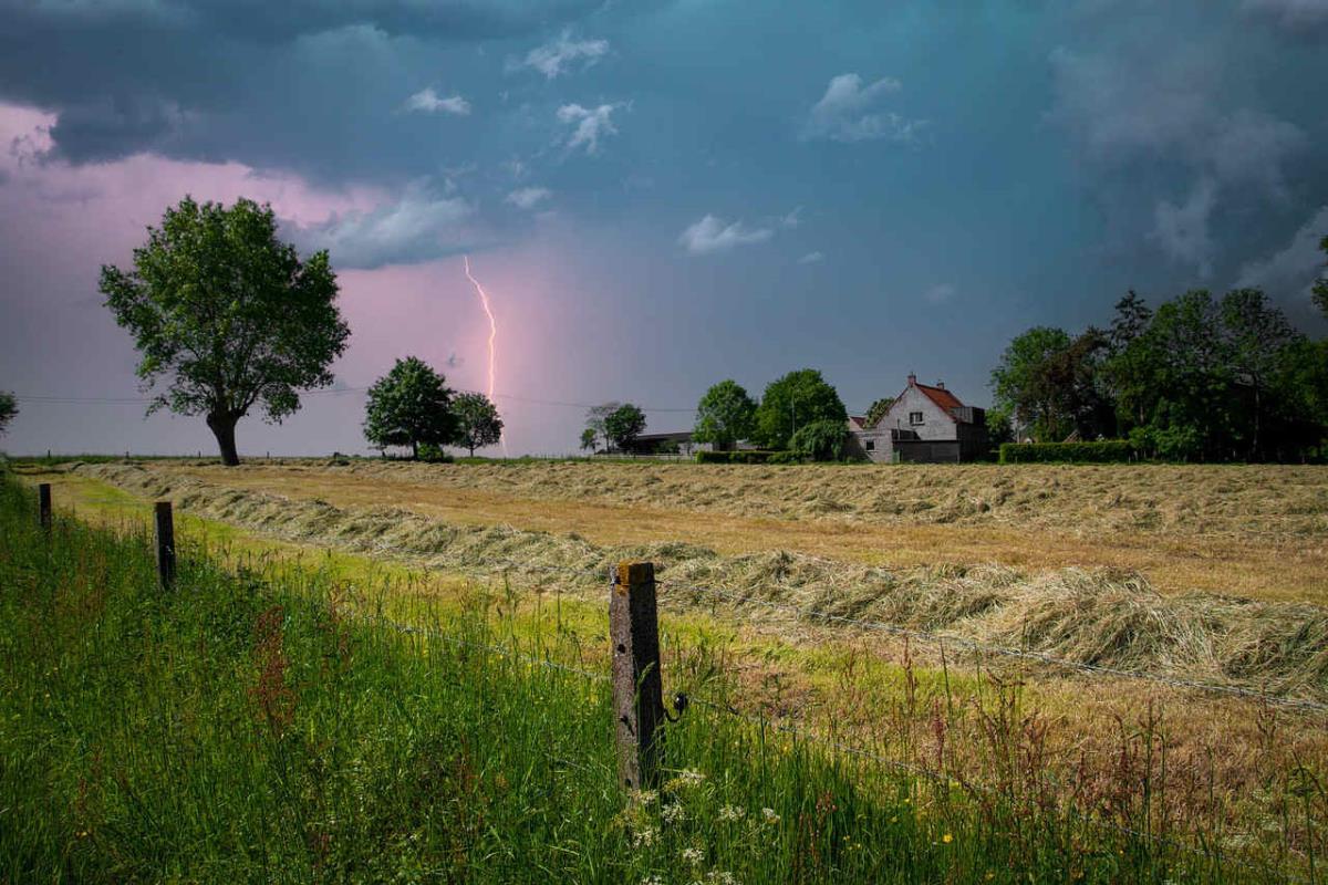
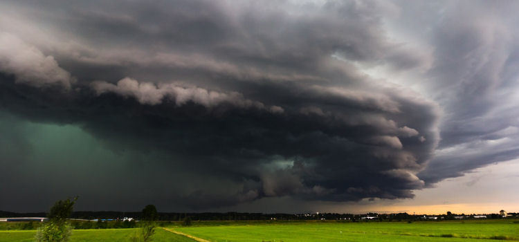
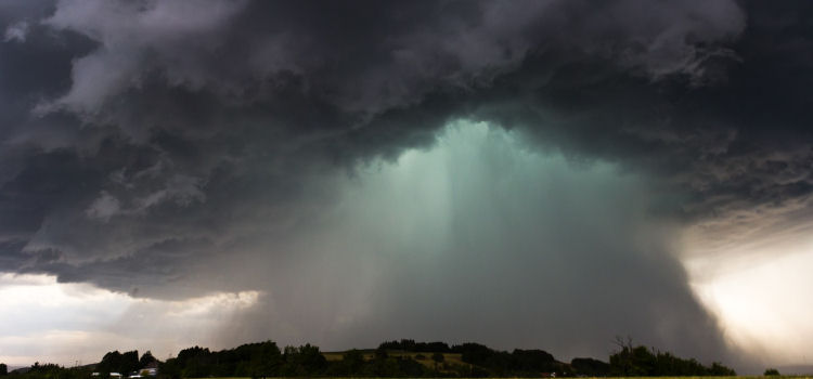
Rain, wind, and chilly conditions continue to sweep across various parts of the UK, with low pressure persisting after the 6th wettest July on record. Storm Antoni is making its presence felt, bringing heavy rain and strong winds, a rare sight during the summer season. Forecasters are warning of gusts exceeding 60mph in the hardest-hit regions, raising concerns about potential travel disruption and power outages.
The Met Office has issued several warnings to alert the public about the severity of the weather:
- An amber warning for wind is in effect for southwest Wales and southwest England until 7 pm.
- A broader yellow warning for wind spans across southern parts of the UK and lasts until 8 pm.
Amber warnings signal a higher probability of significant weather impacts, urging people to reconsider their plans and take necessary measures to safeguard themselves and their property.
Storm Antoni, moving from west to east, is predicted to be "potentially disruptive," leading to possible road and bridge closures. The unusual weather conditions can be attributed to the jet stream, a fast-flowing current of air, which is pushing a low-pressure system across the UK. The northern side of the jet stream is currently keeping the weather cooler and more settled in the southern regions.
Despite the storm's intensity, there is optimism for the upcoming week, as it may bring warmer and more stable weather compared to the past month's experiences.
Unfortunately, there are few regions escaping the downpours, clouds, and cold temperatures, with low pressure lingering after the historically wet July. Chief meteorologist Steve Willington notes that Northern Ireland could experience some of the highest rainfall totals, with 40 to 60mm expected in certain spots, and 20 to 30mm more widespread. North Wales and North England are also expected to encounter a very wet day.
With the RAC warning that Saturday may be "the worst day on the roads of summer so far," drivers are advised to exercise extreme caution. An estimated four million cars are embarking on leisure trips this weekend, but the treacherous weather conditions, featuring strong winds and heavy rainfall, make driving a risky affair. The RAC spokesman, Rod Dennis, emphasises the importance of reducing speed significantly and avoiding exposed moorland and coastal routes until the storm passes.
Motorists towing caravans and trailers are urged to be extra vigilant, ensuring proper security of bikes and roof boxes. Fallen trees may also pose a hazard, warranting caution while driving. Unfortunately, the adverse weather has led to the cancellation of several outdoor events, such as the Dorset jazz festival Stompin' on the Quomps, which was postponed for the first time in its 30-year history due to safety concerns.
Storm Antoni marks the second storm to hit the UK in just five days, with temperatures expected to reach the mid teens, although the strong winds will likely make it feel colder.
As the afternoon progresses, winds are predicted to ease, and rain will clear from eastern areas early on Sunday, leaving a quieter day with a mix of sunshine and showers for most. Despite the challenges posed by the weather, the UK remains resilient, with hopes for a more settled and enjoyable week ahead.
Share this story:
TweetBeyond the Headlines
Unraveling the Nature of Storms: Unleashing Earth's dynamic and potent force
A storm, known by various names such as tempest or squall, stands as a remarkable testament to the raw might of Earth's atmosphere. These tumultuous symphonies of wind and precipitation, often accompanied by towering waves, bear the capacity to inflict widespread chaos upon landscapes and communities.
Grasping the underlying mechanics governing storms and their classification serves as an imperative in predicting and mitigating the havoc they wreak upon our world.
The Essence of Storms
A storm constitutes a broad-scale atmospheric disturbance characterised by intense winds and copious rainfall. These atmospheric upheavals can arise from various meteorological phenomena, such as frontal systems, convective instability, and even the aftermath of volcanic eruptions. Storms can manifest in diverse forms, ranging from isolated thunderstorms to expansive systems that span continents. Understanding intricacies of storms involves comprehending their origins, evolution, and eventual dissipation, a process that can span anywhere from mere hours to several days.
Diving into the Origins
Storms are conceived through intricate interplays of various meteorological factors. One of the principal generators is the collision of differing air masses, where warm, moisture-laden air encounters colder, denser air. This collision sets off a cascade of convection, causing warm air to ascend and cold air to plunge. The rising air cools and releases its moisture, leading to cloud formation and the release of latent heat. This heat in turn fuels further ascension, creating a convective cycle that strengthens the storm.
Asymmetry in the Wind: Coriolis Effect
The Coriolis effect, an outcome of Earth's rotation, also contributes its artistic touch to storm choreography. As air masses are pushed along their trajectories, the Coriolis effect deflects their paths, introducing a characteristic swirl to their motion. The rotation imbued by this effect bestows storms with their iconic spiral structure, a visual reflection of Earth's dance.
Unveiling the Spectrum: Classification of Storms
Classifying storms entails a systematic approach that recognises their diverse manifestations and potential impact. While storms span an array of scales, from microbursts to macro-scale systems, they are often categorised based on their characteristics and magnitude. This facilitates streamlined communication and aids in the anticipation of their impact.
Resources
To glean more insights about storms, various reputable sources offer troves of information:
National Weather Service (NWS):
The NWS, a branch of the National Oceanic and Atmospheric Administration (NOAA) in the United States, serves as a reliable bastion of storm-related data, forecasts, and alerts.
World Meteorological Organization (WMO):
An arm of the United Nations, WMO fosters international collaboration in the realm of meteorology and supplies a global perspective on storms and meteorological phenomena.
University Research Centres:
Universities and research institutions delve into storm research, unearthing scientific treasures about these phenomena. Their publications and websites provide valuable insights into the science of storms.
Meteorological Outlets:
Renowned weather outlets like The Weather Channel, AccuWeather, and Weather.com extend comprehensive coverage of storms, offering forecasts, tracking, and safety guidance.
Educational Initiatives:
Various educational institutions amplify our understanding of storms through academic research and curriculum. Exploring their resources can unlock deeper scientific comprehension.

As storms remain one of the most dynamic and awe-inspiring facets of our planet, unravelling their mysteries requires a multidisciplinary approach.
By embracing the insights garnered from history, science, and technology, we inch closer to mastering the art of predicting, preparing for, and ultimately mitigating the impact of these atmospheric theatrics.
Search
Keywords
More Stories

UK big 6 water firms face legal action over pollution and overcharging allegations
UK's six top water firms face legal action over pollution claims. Customers demand justice amid sewage scandal.
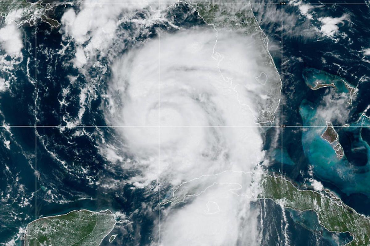
Hurricane Idalia nears Florida Gulf coast: Evacuations and preparations underway
Hurricane Idalia intensifies, prompts evacuations along Florida's Gulf coast. Destructive winds and surge expected.

Controversial house development plans emerge on the Manhood Peninsula in Birdham
Controversial housing plans in Birdham, West Sussex, spark debates on development's impact. Appeals to decide fate.

Converting polyethylene into detergent: A breakthrough in plastic upcycling
From polyethylene to detergent: VA Tech breakthrough converts plastic waste into valuable soap, reshaping recycling.
News Categories
Picks

Live Your Good Life with Good Life Plus: A Fun-Filled Adventure Awaits
Daily prize draws, incredible discounts, and unforgettable experiences await. Sign up today and start living your best life!

Effortless Cleaning: A captivating adventure with the Gtech AirRAM cordless vacuum
Buckle up as I put the Gtech AirRAM MK2 cordless vacuum cleaner through its paces.

Unboxing the Aldom Massage Gun: Your ultimate path to blissful muscle relief and relaxation
I got to unlock deep relaxation with Aldom's versatile massage gun. Bliss in every touch!

Unleash your inner beard aficionado: Mo Bro's XL Beard Maintenance Grooming Kit
A revitalising grooming journey with the Mo Bro's XL Beard Kit. Elevate your beard game with precision care.
Picks Categories
Find picks by category: